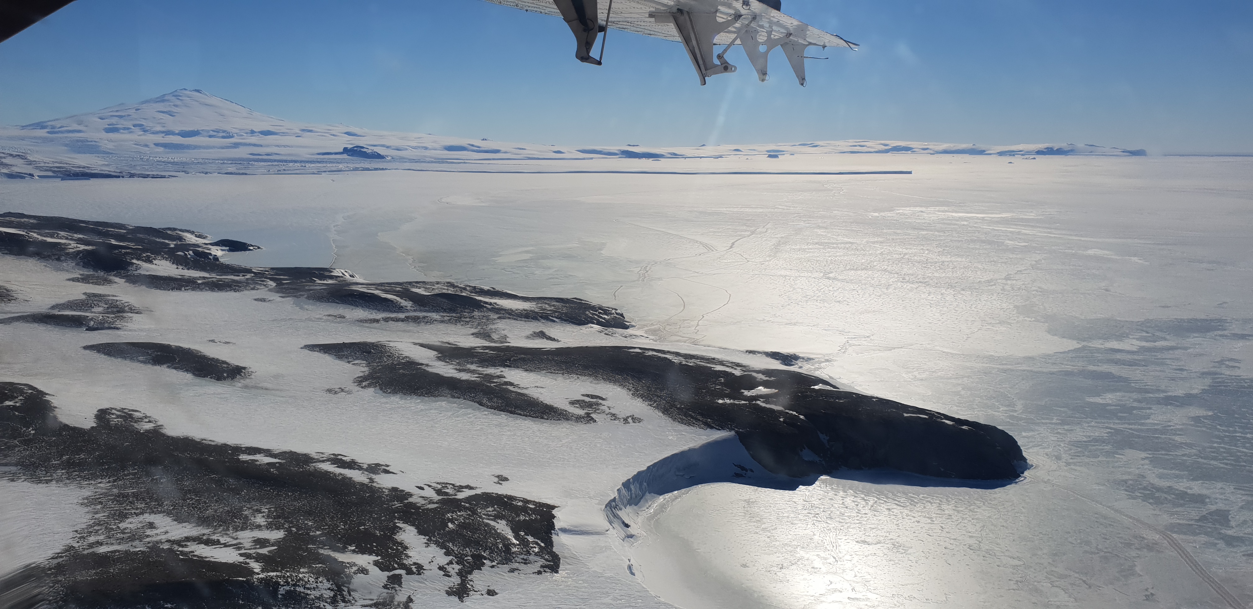
UWBRAD 500-2000 MHz brightness temperature measurements during the ISSIUMAX campaign in Terra Nova Bay, Antarctica
The dataset contains 500-2000 MHz brightness temperature measurements gathered by the Ultra-Wideband Software Defined Microwave Radiometer (UWBRAD) during the Ice Sheet and Sea Ice Airborne Microwave eXperiment (ISSIUMAX) in Terra Nova Bay, Antarctica. The published dataset is in ascii format and consists of geolocated nadiral brightness temperature measurements collected over 12 sub-bands whose central frequencies are 560, 660, 820, 900, 1180, 1240, 1370, 1500, 1630, 1740, 1860, and 1950 MHz. Only measurements with a viewing angle within 5 deg with respect to nadir are reported.
Simple
- Date (Creation)
- 2023-03-15
- Identifier
- https://doi.pangaea.de/10.1594/PANGAEA.956199
- Purpose
-
UWBRAD was operated from a DHC-6 Twin Otter during the XXXVIII Italian Antarctic Expedition. The campaign collected the first ultrawideband brightness temperature measurements in Antarctica over different targets including sea ice, ice sheets, glaciers, ice shelves, and land. The dataset was collected on 24-25 November 2018 in the coastal region surrounding Mario Zucchelli Station (-74.694807°, 164.113268°). The UWBRAD microwave radiometer measures nadiral circularly polarized brightness temperatures over the entire 500–2000 MHz range using multiple frequency channels. Since this frequency range is not a protected portion of the spectrum, the measurements can be affected by anthropogenic RFI. To address this issue, UWBRAD includes RFI detection and filtering methods to filter out artificial signals received by the radiometer. A full description of the instrument can be found in Andrews et al, 2022 (DOI: 10.1109/TGRS.2021.3090945).
- Status
- Completed
- Maintenance and update frequency
- Not planned
-
SCAR Gazetteer of Antarctica
-
-
Terra Nova Bay
-
Priestley Glacier
-
Gerlache Inlet
-
David Glacier
-
Northern Foothills
-
Wood Bay
-
Nansen Ice Sheet
-
Reeves Glacier
-
-
GCMD - Science Keywords
-
-
GLACIERS/ICE SHEETS
-
SEA ICE
-
SNOW/ICE
-
-
GCMD - Providers
-
-
IT/PNRA
-
- Keywords
-
-
PNRA project
-
-
ISSIUMAX PNRA16_00052
-
- Use limitation
- Creative-Commons CC BY-NC-SA 4.0
- Unique resource identifier
- 2016/AZ3.02
- Association Type
- dependency
- Initiative Type
- Project
- Unique resource identifier
- 33
- Association Type
- dependency
- Initiative Type
- Campaign
- Spatial representation type
- Text, table
- Denominator
- 1
- Metadata language
- English
- Character set
- UTF8
- Topic category
-
- Climatology, meteorology, atmosphere
- Geoscientific information
))
- Begin date
- 2018-11-24
- End date
- 2018-11-25 Now
- Unique resource identifier
- WGS84
- Distribution format
-
-
FORMATO_DISTRIBUZIONE_DATI (ASCII, CSV, NetCDF...)
(
1
)
-
FORMATO_DISTRIBUZIONE_DATI (ASCII, CSV, NetCDF...)
(
1
)
- OnLine resource
- https://doi.pangaea.de/10.1594/PANGAEA.956199 ( WWW:LINK-1.0-http--link )
- OnLine resource
- ISSIUMAX - PNRA Project ( WWW:LINK-1.0-http--link )
- Hierarchy level
- Dataset
Domain consistency
Conformance result
- Date (Publication)
- 2010-12-08
- Explanation
-
This data set is conformant with the INSPIRE Implementing Rules for the interoperability of spatial data sets and services
- Pass
- Yes
- Statement
-
Data have been internally and absolute calibrated, then filtered for ensuring the cancellation of RFI and spurious measurements.
- File identifier
- f9822a10-c27a-4bbb-829b-625084d49e5c XML
- Metadata language
- English
- Character set
- UTF8
- Hierarchy level
- Dataset
- Date stamp
- 2025-05-12T14:21:02
- Metadata standard name
-
ISO 19139
- Metadata standard version
-
1.0
Overviews

Spatial extent
))
Provided by
