High Frequency radar measurement of the polar ionosphere by the Dome C East SuperDARN radar
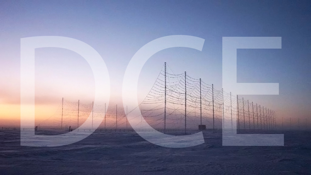
The HF radar denominated Dome C East (DCE) emits pulses of HF waves (8–20 MHz) which are refracted in the ionosphere and can be back-scattered by field aligned decameter scale irregularities of the electron density at distances ranging from 180 to 3550 km from each radar and at heights between 100 and 400 km. The radar signals are steered in 16 emission beams, separated by 3.3 degrees, in an azimuthal interval of 52 degrees, usually swept in 2 minutes. The signals are emitted according to multi-pulse sequences that allow the real-time acquisition of the autocorrelation function of the back scatter echoes, from which the reflected power, the VD Doppler velocity of the irregularities, and the spectral width can be calculated for each distance-azimuth cell. VD coincides with the velocity of the plasma along the line of sight. DCE is part of the Super Dual Auroral Radar Network (SuperDARN). In SuperDARN, pairs of radars, typically located at 2000 km distance and oriented so that their beams cross each other over the region to be studied, are used to get the velocity vector in two dimensions. DCE forms a common-volume pair with the SuperDARN South Pole radar (U.S.). SuperDARN radars are devoted to the study of ionosphere, between 100 and 400 km from ground, in the polar, auroral and medium latitude regions. The SuperDARN and DCE scientific objectives span from fundamental plasma physics to space weather in the framework of Sun-Earth relations.
Italy participates in the SuperDARN international network also with the Dome C North radar(DCN), installed at the Concordia station in January 2019 and operative since then.
Simple
- Date
- Unique resource identifier
- https://antarcticdatacenter.cnr.it/geonetwork/srv/api/records/45be6458-5bbf-11eb-aab7-c928f46d4e67
Identifier
- Status
- On going
- GCMD - Locations
-
-
IONOSPHERE
-
- GCMD - Science Keywords
-
-
SUN-EARTH INTERACTIONS
-
- GCMD - Locations
-
-
ANTARCTICA
-
- GCMD - Platforms
-
-
GROUND-BASED OBSERVATIONS
-
- GCMD - Providers
-
-
IT/PNRA
-
- PNRA project
-
-
OSS-14 SuperDARN PNRA14_00085
-
- Use limitation
- Creative-Commons CC BY-NC-SA 4.0
- Association Type
- dependency
- Initiative Type
- Campaign
- Spatial representation type
- Text, table
- Denominator
- 1
- Metadata language
- English
- Character set
- UTF8
- Topic category
-
- Climatology, meteorology, atmosphere
))
- Supplemental Information
-
DATA FORMAT:DCE data are available at the British Antarctic Survey SuperDARN data mirror. Data on the SuperDARN data mirror exists in the form of *.rawacf files. Software to read and analyse these data is available in a range of SuperDARN software modules which can be freely downloaded from http://superdarn.org/tiki-index.php?page=software . DATA GAPS: due to failure in the radar electronics caused by power black outs the dataset is affected by two extended data gaps: DCE data are missing from 2015/07/18 to 2015/11/24 and from 2018/06/21 to 2019/01/29. Shorter data gaps (of the order of few hours) can be present due to radar ordinary maintanence activities.
- Unique resource identifier
- WGS84
- Distribution format
-
-
None
(
1
)
-
None
(
1
)
- OnLine resource
-
Data resource
(
WWW:LINK-1.0-http--link
)
Link to external resource
- OnLine resource
- superDARN - PNRA Project ( WWW:LINK )
- Hierarchy level
- Dataset
Domain consistency
Conformance result
- Date (Publication)
- 2010-12-08
- Explanation
-
This data set is conformant with the INSPIRE Implementing Rules for the interoperability of spatial data sets and services
- Pass
- Yes
- Statement
-
Data is collected automatically by ground-based instruments on site.
- File identifier
- 45be6458-5bbf-11eb-aab7-c928f46d4e67 XML
- Metadata language
- English
- Character set
- UTF8
- Hierarchy level
- Dataset
- Date stamp
- 2025-05-12T14:20:57
- Metadata standard name
-
ISO 19115-3
- Metadata standard version
-
1.0
Overviews

Spatial extent
))
Provided by
