Dome C Tropospheric Observer (DoCTOr)
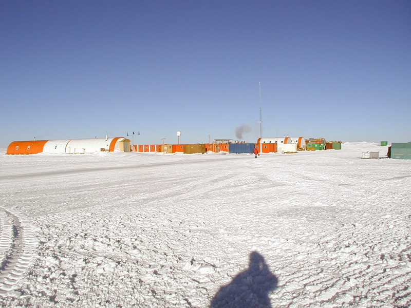
The DoCTOr (Dome C Tropospheric Observer) project aims to establish an integrated monitoring system to measure simultaneously, continuously and with a high temporal resolution the water vapor and temperature vertical profiles and the radiative exchanges vs. altitude.
The monitoring will enable us to detect both long-term trends and fast-evolving phenomena, the latter useful in the interpretation of the causes of the first. This task is performed mainly through remote sensing techniques, allowing for the study of a highly unperturbed atmospheric sample. The integration of all the deployed instrumentation in a single acquisition system simplifies greatly the data analysis needed to retrieve the final products: The REFIR-PAD spectroradiometer (already operating in dome C since 2011) will provide spectrally-resolved atmospheric downwelling radiances in the mid to far-infrared spectral range, while a laser diode based profiler will characterize the microphysics state of the first 3 km of the atmosphere.A real-time data analysis system based on an atmospheric radiative transfer model will then retrieve from the acquired data the temperature and water vapor profiles and the cloud optical thickness in almost all weather conditions found at Dome C, with a temporal resolution of about 10 minutes.
Simple
- Date
- Unique resource identifier
- https://antarcticdatacenter.cnr.it/geonetwork/srv/api/records/77b344c6-1d10-11eb-bccd-7b40b3c96977
Identifier
- Status
- On going
- GCMD - Locations
-
-
ANTARCTICA
-
- GCMD - Platforms
-
-
GROUND-BASED OBSERVATIONS
-
- GCMD - Science Keywords
-
-
WATER VAPOR
-
- NASA Thesaurus
-
-
Earth radiation budget
-
- GCMD - Providers
-
-
IT/PNRA
-
- PNRA project
-
-
DOCTOR PNRA16_00228
-
- Use limitation
- Creative-Commons CC BY-NC-SA 4.0
- Unique resource identifier
- PNRA16_00228, 2016/AC3.02
- Association Type
- dependency
- Initiative Type
- Project
- Association Type
- dependency
- Initiative Type
- Campaign
- Spatial representation type
- Text, table
- Denominator
- 1
- Metadata language
- English
- Character set
- UTF8
- Topic category
-
- Climatology, meteorology, atmosphere
))
- Unique resource identifier
- WGS84
- Distribution format
-
-
ASCII
(
1
)
-
ASCII
(
1
)
- Hierarchy level
- Dataset
Domain consistency
Conformance result
- Date (Publication)
- 2010-12-08
- Explanation
-
This data set is conformant with the INSPIRE Implementing Rules for the interoperability of spatial data sets and services
- Pass
- Yes
- Statement
-
Data has been collected automatically using ground-based instruments on site.
- File identifier
- 77b344c6-1d10-11eb-bccd-7b40b3c96977 XML
- Metadata language
- English
- Character set
- UTF8
- Hierarchy level
- Dataset
- Date stamp
- 2025-05-12T14:21:05
- Metadata standard name
-
ISO 19115-3
- Metadata standard version
-
1.0
Overviews
Spatial extent
Provided by